|
The state of Hawaii is generally shown on maps as stretching from the island of Kauai in the northwest to the island of Hawaii ("the Big Island") in the southeast. In fact, the state's territory extends past Midway Atoll, nearly 1,000 miles to the northwest. This map shows the actual territory of Hawaii (although Midway itself is part of a different U.S. political entity). www.soest.hawaii.edu/pibhmc/NWHI_images/NWHI.jpg
0 Comments
I'll be out exploring a corner of the world for the next two weeks. I am not sure how much I will be posting to my blog or Facebook page during that time. 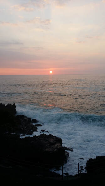 Kids Philosophy Slam has announced its 2020 essay topic: "What is the meaning of life?" All K-12 students, including students outside the U.S., are invited to submit their thoughts on this topic by April 3. For all the details, see www.philosophyslam.org/participate_fin.html
This map, based on data from Freedom House, shows the state of individual political freedom and civil liberties around the world in 2019. www.axios.com/freedom-house-freedom-around-the-world-map-6eb67eab-a1a0-4e40-8c7b-baeaae307935.html
NewsCurrents, a weekly subscription news source for students in grades 3-12, posts a free current events quiz every week: www.newscurrents.com/intro/quiz/quiz.html And if you are finding your middle schooler or teen does not know as much about current events as you might like, you can get a 1-year digital subscription to The Washington Post right now for only $59 (or try it free for 4 weeks): www.amazon.com/dp/B072MHQFJ1 (Please note: this is not an affiliate link. I get nothing if you click on this. I just think turning students on to print journalism, even if in digital form, is a very good thing.)
Australia has been in the news recently due to its intense heat and wildfires. This map, from Meteoblue which shows global high temperatures for today, helps illustrate why. 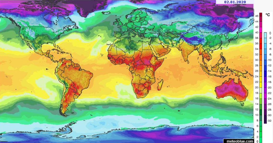 Air quality issues have sparked major protests in China, India, Iran, Indonesia, and elsewhere around the world over the last few years. This article from The New York Times includes an interactive feature that allows users to check worst-day particulate levels at their location or in a sampling of other cities. www.nytimes.com/interactive/2019/12/02/climate/air-pollution-compare-ar-ul.html
|
Blog sharing news about geography, philosophy, world affairs, and outside-the-box learning
Archives
December 2023
Categories
All
|
 RSS Feed